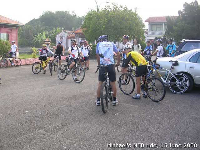
Originally was planning to do South Hill. But my two riding buddies had some last minute arrangements. I ended up doing Batu Gantung instead.
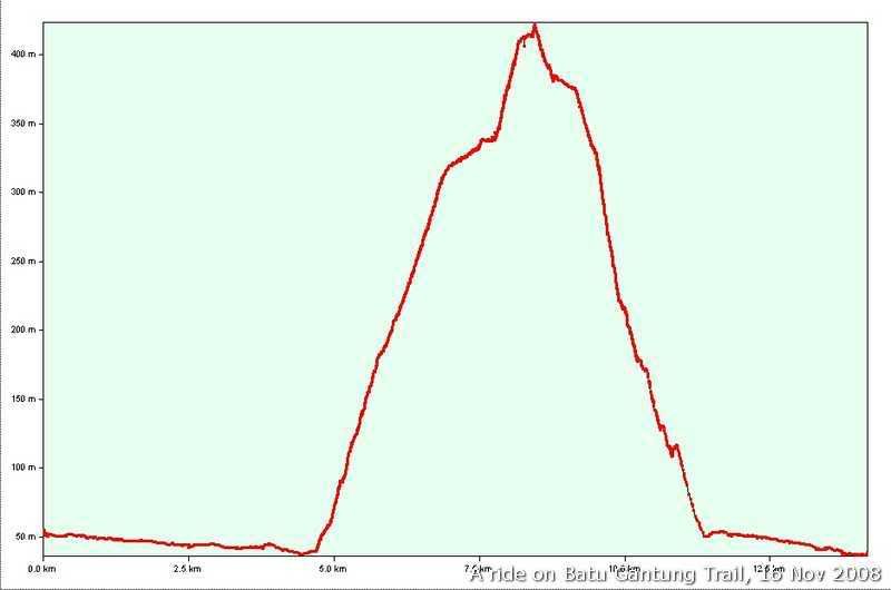
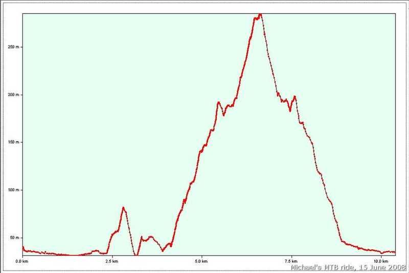
Elevation profile of the trail. You can see that it max out at more than 400m at a distance of about 3km.
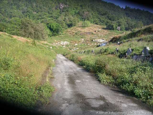
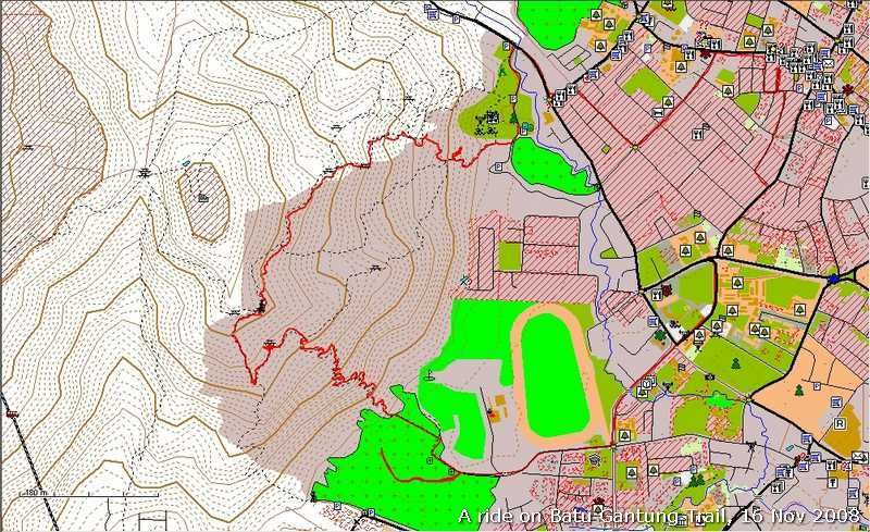
The trail started at Union Hokkien Cemetary, Batu Gantung. I did it once couple of weeks ago when a riding buddy of mine from KL came for a visit. We started from Rifle Range and coming down from Pt 45 station. This time I did it in reverse.

The sign post to tell the correct path to 45 and 39 stations.
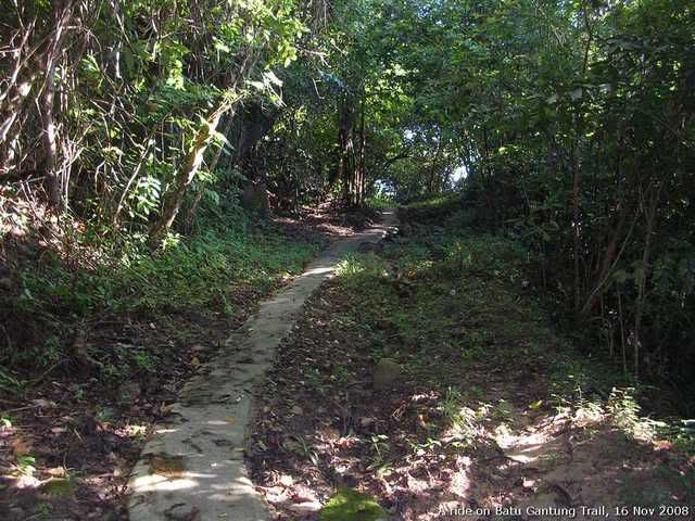
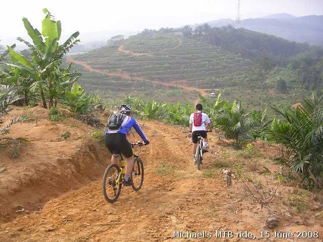
Cemented singletrack all the way. The look may fool you that it was a gradual climb. It may be oerwhelming for some though.
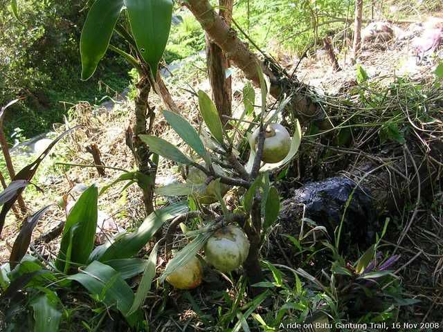
I saw this persimom tree halfway up. Never realize that it could survive at our climate.

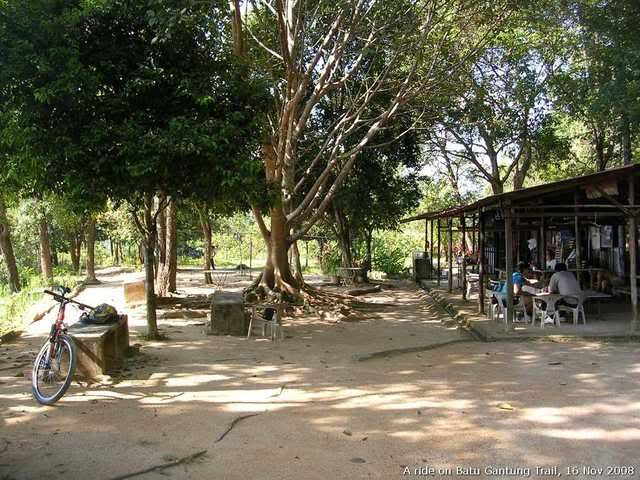
A view of Pt 45 hill station, 350m elevation(approx.).

The trail to Pt 39 station are stepped. I had to climb this flight of staircase and carrying my 27lb Voodoo to the next station!
Pt 39 station. Took a short breather here before continue my journey. The climb really took my breath away(and the song, "Take my breath away" still lingers in my mind)!
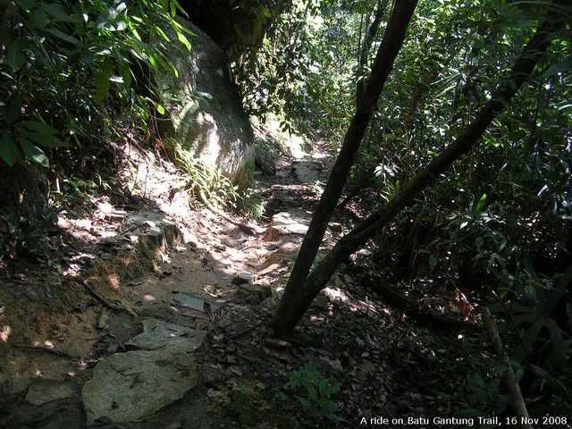
View of trail at Pt 6 trail. All broken. I thought I could ride down. I ended up walking down to Youth Park!
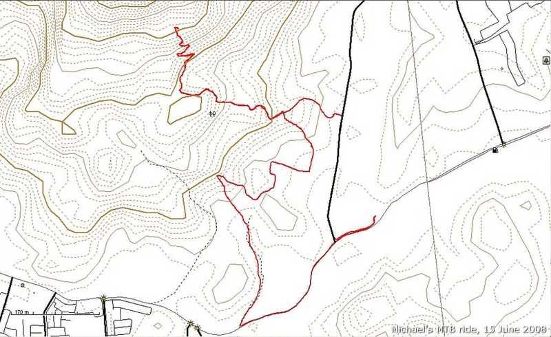
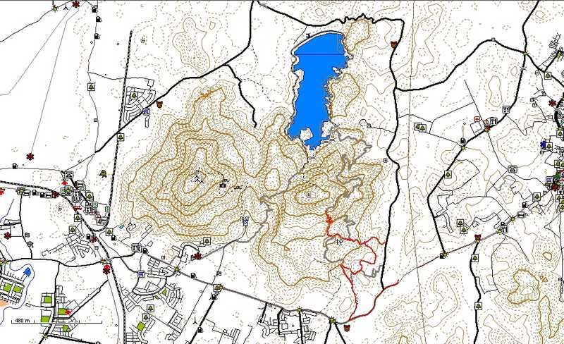
Tracklog:
16112008(Batu Gantung).gpx