MTB Tracks & Report

Tracklog, POI and error feedback for Kedah, Penang & Perlis. Mapper: OngCC

Moderators: tympg, keong8260, Moderators, Regional Mappers

Forum rules
1. Be nice to each other and respect the moderators. Post in normal font size, color and weight. Follow Nettiquette
2. NO out of topic. This forum is strictly for feedback to our maps
3. NO posting of data copied from other source especially malsingmaps
4. NO abuse, profanity and insults
5. NO spamming, cross posting and opening of duplicate topics
6. NO post/link to warez, cracks, serials or illegally obtained copyrighted content
7. Each message posted is owned by and is the opinion of the original poster. Neither mfm nor its owner or moderators are legally responsible for anything posted on the forum
turbosnail
Valued Contributor
Posts: 66
Joined: Tue Sep 16, 2008 11:15 pm

My Batu Gantung-Hai Keat village MTB ride and tracklog

Postby turbosnail » Sun Dec 07, 2008 9:58 pm

Image
I rode the trail in Batu Gantung again this morning. I wanted to find out if the connecting trail that I saw at the peak of the climb when we did the ride from Rifle Range were going anywhere or not. From the map you can see it did going somewhere!

Image
Profile of the trail. Total distance travelled: 16km(5km climb).
Image
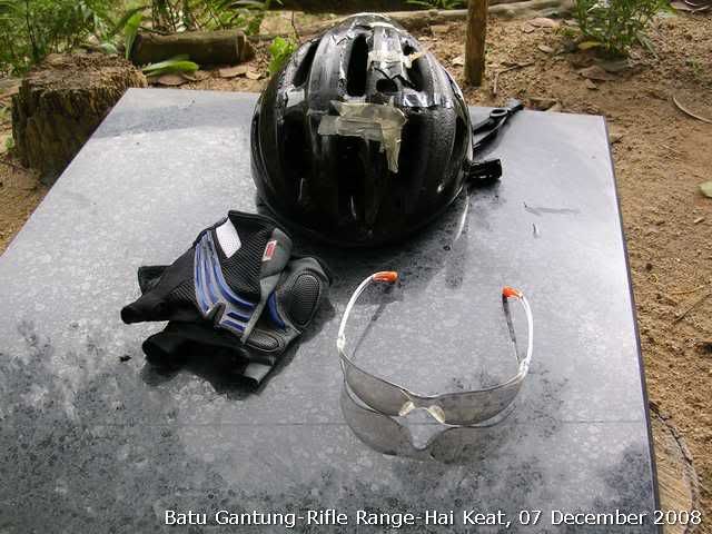
My 10 year old Bell Helmet, Azonic gloves and the King's goggle that I bought recently(scratch proof lens, very light and comfy and cost 10 times less than my Cateye goggles!). Picture taken at Station 45. I started from Batu Gantung instead of Rifle Range. Took me 25mins to climb that god forsaken slope!
Image
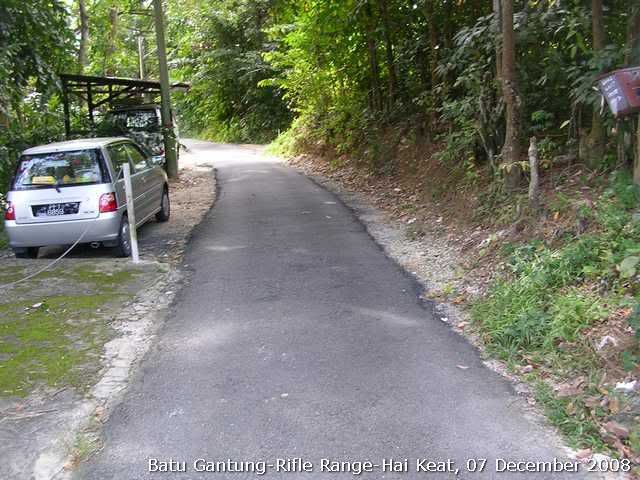
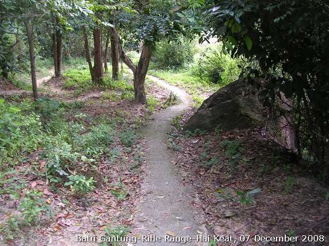
View of the cement farmer trail and run parellel to the stair case and run up from Rifle Range trail. Think it has been there before the stair was built. Btw, the stairs run up to 39.
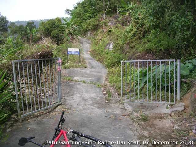
Image
View of the connecting trail. You can see the slope from the picture. It is the steepest of the whole ride.
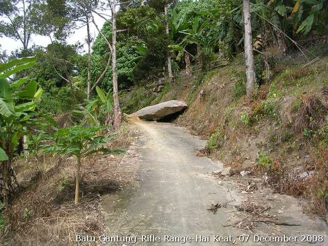
Image
Fallen rock. Must be from the recent landslide due to incessant rain for the past few days.
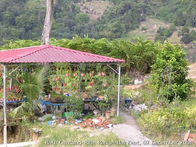
Image
When you see this hut the trail starts to go down, steeply!
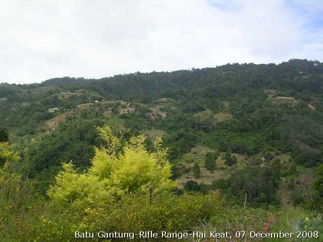
Image
View of other orchards on the slope of Penang Hill. Many of them are illegal ones.
Image
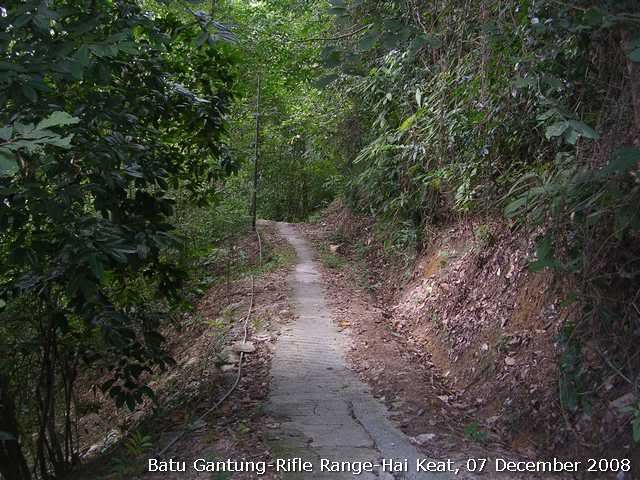
The trail continue to go down. You can see the traffic is mostly two wheelers.
Image
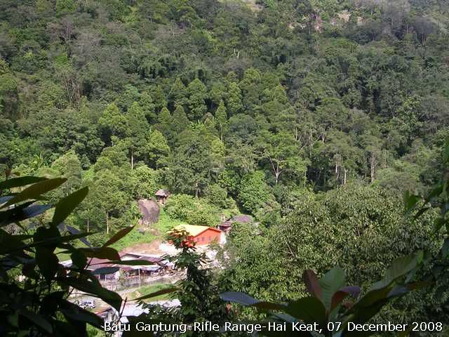
View of the Hai Keat village.

Image
The trail widen up when approaching Hai Keat village.
Image
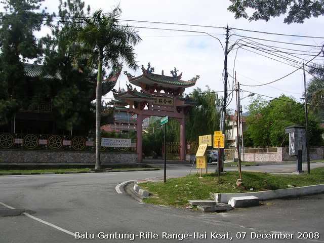
I came out from the Hai Keat village. This temple is Miao Xiang Lin temple before the Penang Hill foothill station.

Everytrail log: http://www.everytrail.com/view_trip.php?trip_id=86469

Tracklog:
07122008(BatuGantung-HaiKeat).gpx


Done! 236 - OngCC
You do not have the required permissions to view the files attached to this post.

turbosnail
Valued Contributor
Posts: 66
Joined: Tue Sep 16, 2008 11:15 pm

Re: MTB Tracks & Report

Postby turbosnail » Mon Jan 19, 2009 4:59 pm

Image
This Sudnay saw me struggling up to the mid tram station via a farmer trail we call Hait Keat Village Farmer trail.

Image
Total distance: 18km with 6km of sadistic fun...;)


Image
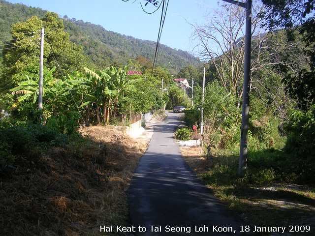
The ride began with gradual slope that could make you to believe that it would be a walk in the park.


Image
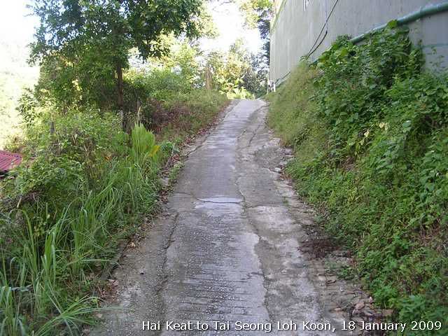
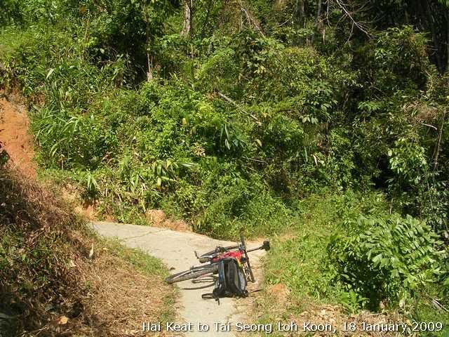
Soon after the gradient of the trail changed dramatically. You can see from the photo how steep it was!


Image
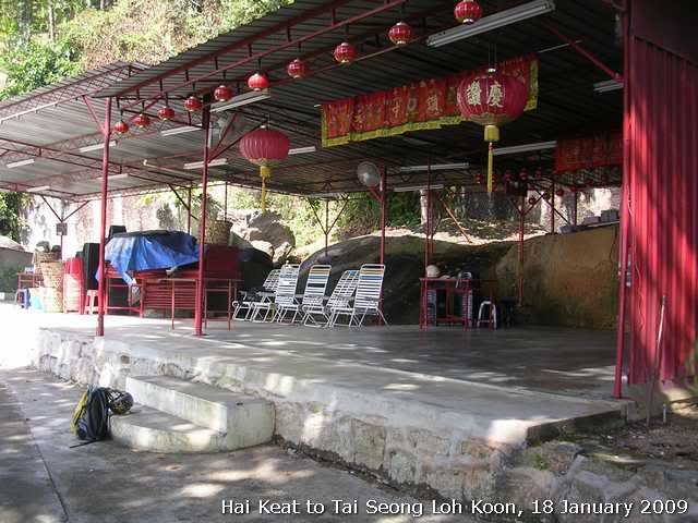
With my tongue touching the ground after the god forsaken climb, I decided to take a shorter break in front of this temple before continue my ride to the Mid tram station.

Image
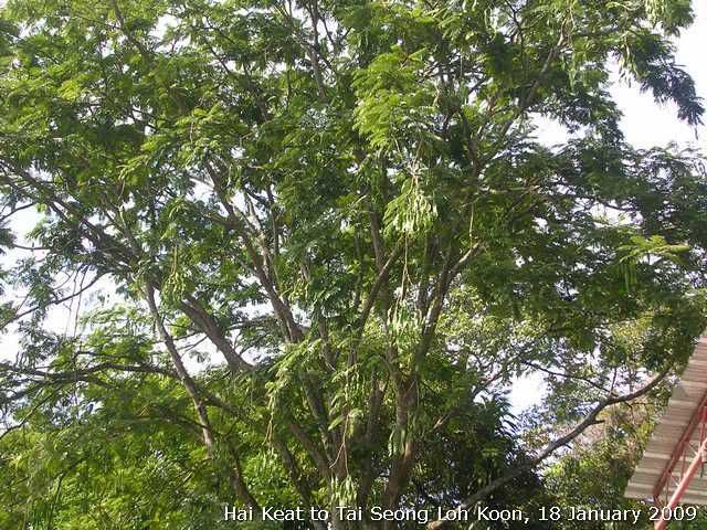
Petai tree, just right after the temple.


Image
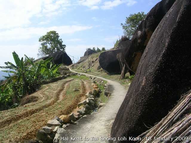
A view of the trail leading to the Mid tram Station

Image
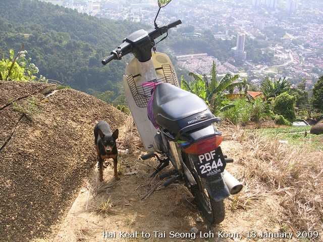
Saw this feisty canine on my way.

Image
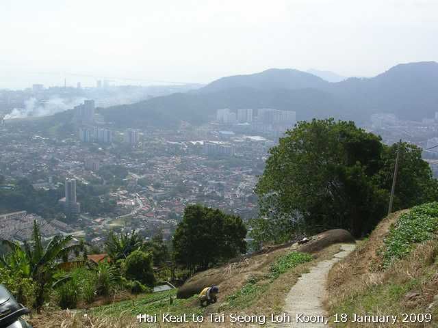
Going to the tram station. Nice view, eh? The tall buildings are aprtments in Farlim.

Image
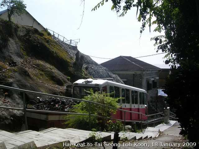
The mid tram station. Other mountain bikers decided to take the tram down. Too steep the descent to their liking, I think? I continue my ride after a short break at the tram station. It was basically a gradual slope that was downhill incline.


Image
I finally exited to another trail that started from the Tai Seong Loh Koon temple at the foothill. It was a very steep descent. I had to stop to let my rims cool down.

Image
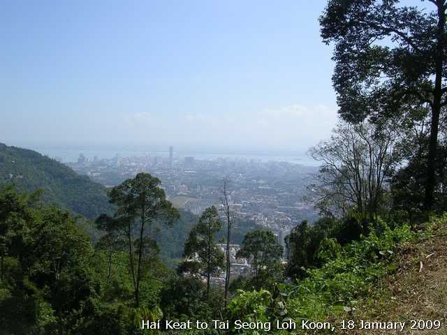
View of George Town halfway down.


Image
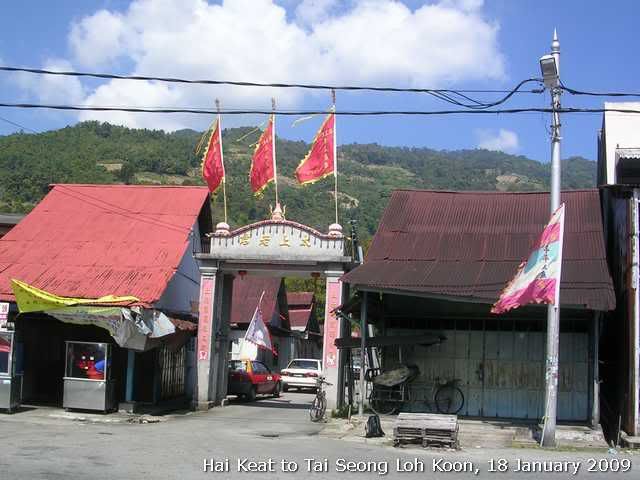
Entrance to Tai Seong Loh Koon temple. My exit from the ride, 2 hours later.

Tracklog:
18012009(Hai keat - Tai Seong lo koon).gpx


Done! 242 - OngCC
You do not have the required permissions to view the files attached to this post.

turbosnail
Valued Contributor
Posts: 66
Joined: Tue Sep 16, 2008 11:15 pm

My MTB ride on the Blue Hill trail

Postby turbosnail » Wed Feb 11, 2009 12:39 pm

Image
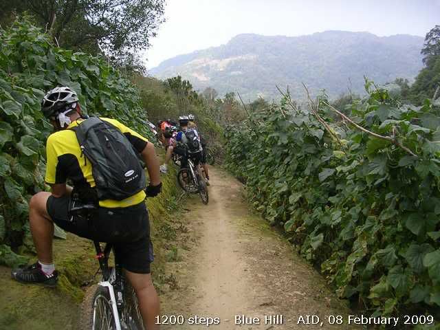
I decided to join KOTRT on one of their weekend rides, which they took a group of riders to scale 1200 steps and Blue Hill. I have been wanting to do Blue Hill since I last heard about it. But none of my riding partners dares to join me due to the difficlut climb!


Image
Total distance: 25km approx with 19km of sadistic fun.


Image
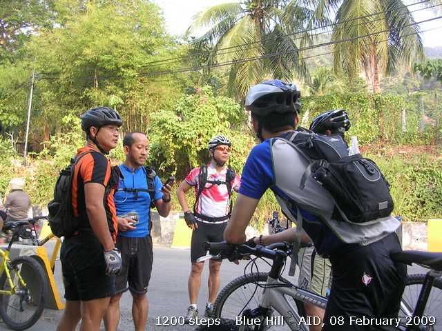
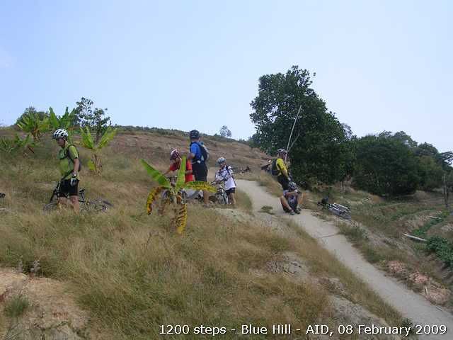
I met the group at the entrance to the AID road. The one with orange jersey is the ride leader. We started the ride after the last two riders showed up.


Image
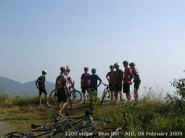
This photo was taken after we branched out of the 1200 steps trail and going to the direction where a meditation center is located. It was also our second regroup point. FYI, I was the slowest rider amongst them.

Image
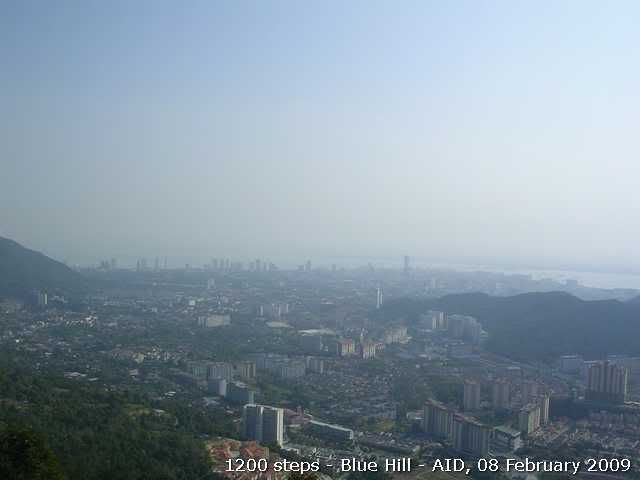
Breathtaking view to the George Town area at the second regroup point.

Image
We began to descend to Paya Terubong just before reaching the meditation center. The trail was mostly cemented. According to the ride leader, he would not take us there if it was raining.

Image
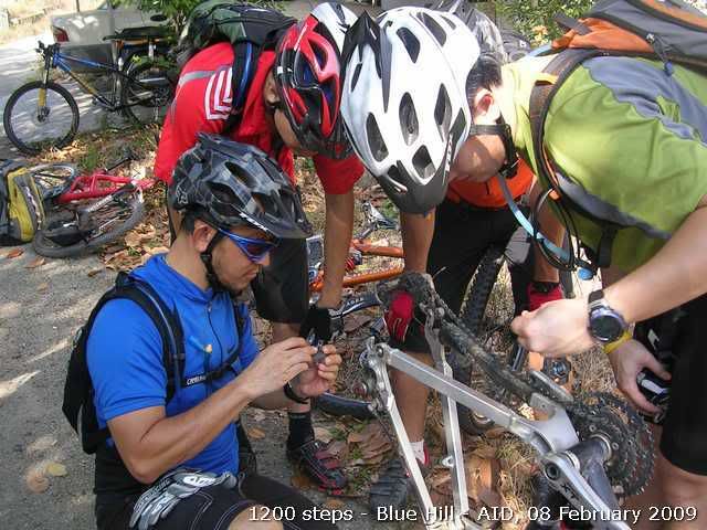
We regrouped at the junction to Jalan Paya Terubong. One of the riders was experiencing disc brake problem on his Shimano XT rear disc brake. It seems the rentention pin of the brake pad had flunked off.

Image
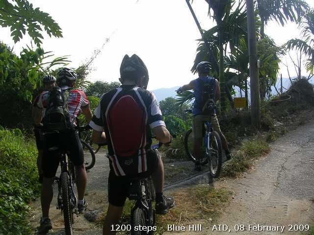
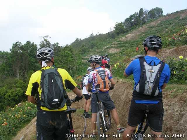
This picture was taken 1/3 up to the peak of blue hill. The trail was not only steep, but also quite exposed. I just couldn't got myself onto my VooDoo to ride up. I gave up staying on my bike and push all the way. I didn't know that I was experiencing what we call bonking. I forgot that I had power bar with me. I should have eaten one of them!

Image
Riders waiting at the peak. My legs started to cramp, one of the bonk symptoms. It was the first time I bonk and I did not realize it. I later experiencing dizziness and rapid heart beat, signalling my sugar lever is at the rock bottom. But I still continued and without realizing it.

Image
Riders awaiting to cross to the adjacent trail. I was later told by the ride leader that the old trail had been blocked. We should have taken the new trail that connects to this adjacent trail.

Image
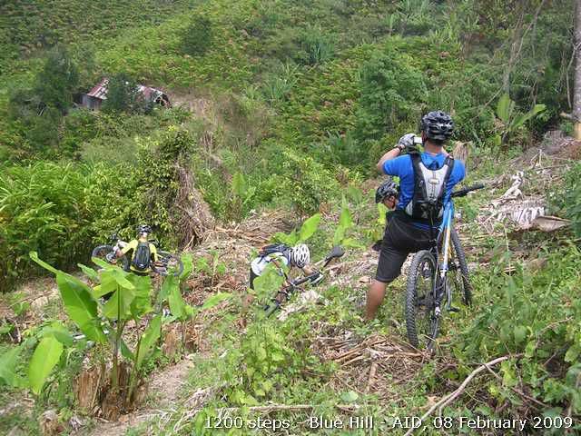
Seeing here are riders helping to portage the bikes down to the adjacent trail.

Image
Riders waiting at the adjacent trail after we crossed over. The trail started to descent after this point.

Image
We reached to another connecting trail that would take us back to the Air Itam Dam. It is called Jalan Balik Pulau on the map. It's more like a farmer than a road. I parted with the rest of the rider and going at my own pace. And yes, I "found" my power bar and quickly took one down. I felt much better afterwards. But just on the safe side, I called my wife to fetch me at the foothill of AID.


Tracklog:
08022009(1200 steps - Blue Hill- AID).gpx


More pictures:
http://www.kodakgallery.com/ShareLanding.action?c=oc6i5yj.2dz3gmsj&x=0&y=-1hhq5r&localeid=en_US

http://www.everytrail.com/view_trip.php?trip_id=124931
You do not have the required permissions to view the files attached to this post.

turbosnail
Valued Contributor
Posts: 66
Joined: Tue Sep 16, 2008 11:15 pm

Re: MTB Tracks & Report

Postby turbosnail » Tue Feb 17, 2009 11:45 am

Image
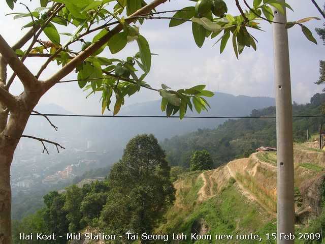
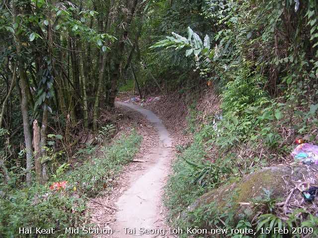
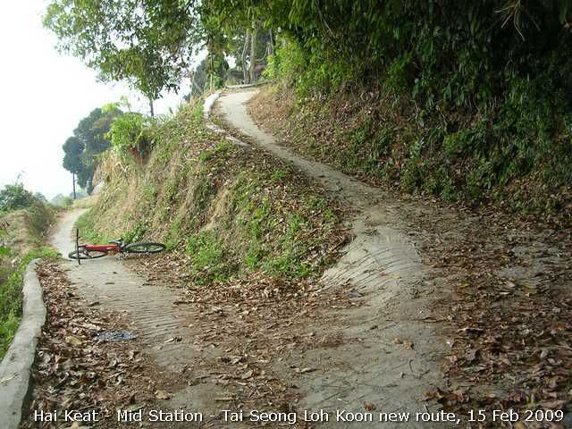
There were two possible ways to connect to the same trail. When I last visited I took the downhill inclined one. This time I decided to try another one, which is the trail that is more frequently travelled by farmers and others.

Image
The profile. It was about the same distance as my last ride. But this way is more brutal since it is more uphill incline.

Image
The view of the orchard and beyond. This picture was taken after I took a short from the climb from the mid station. The farmer told me it was much gradual than the one before the mid-station. Yeah right! But I made a better time y 15 minutes to reach the mid station this time.

Image
The trail started to go downhill after the picture of the view was taken. It was a blessing though it was a steep and a breathtaking climb. Man, the song, "Take my breath away" starts playing in my mind now.

Image
I met this junction after a short descent. The one on the right would lead me to the peak of Pg Hill. I decided that I had had enough and took the one of the left.

Image
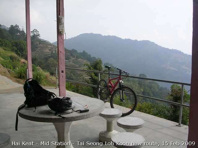
No far from the junction was a Chinese temple, which is for Tua Pek Kong(God of Prosperity). I took a short breather there again. Must admit that my age's catching up! Bike in the picture is my 10 year old Red Devil, a VooDoo Zobop.

Image
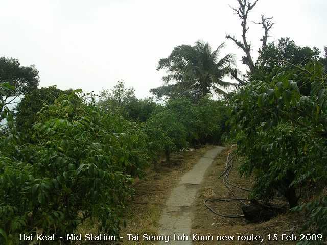
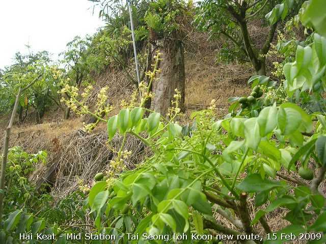
There were lines of "amblah" trees on the descending trail, which I didn't take notice in my last ride. Don't know what it is called in English. But I remember my pop calls them "wild olive" in Teochew.

Image
The flower and the fruit.

Image
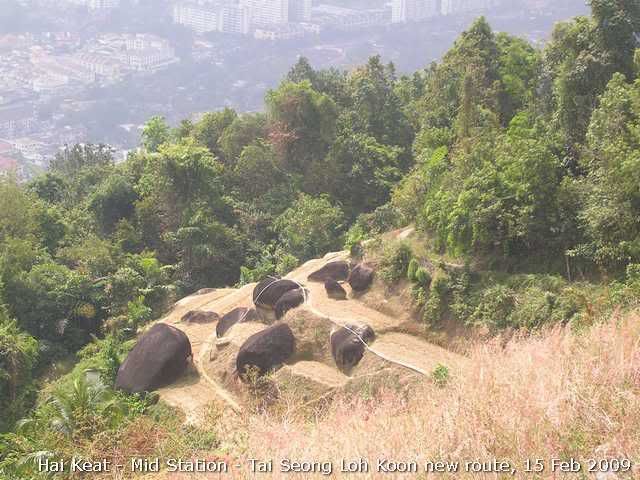
Beautiful "rock garden". It's actually a dried up farm.

More pictures:
http://www.kodakgallery.com/Help2.jsp?&localeid=en_US

Everytrail:
http://www.everytrail.com/view_trip.php?trip_id=129639

Tracklog:
15022009(Hai Keat - Mid - Tai Seong Low Koon).gpx
You do not have the required permissions to view the files attached to this post.

User avatar
snail-works
Valued Contributor
Posts: 204
Joined: Mon Sep 22, 2008 9:53 am
Location: from kuala kangsar, now active in JB and Singapore
Contact:

Re: MTB Tracks & Report

Postby snail-works » Mon Mar 09, 2009 11:26 am

look at the profile, i feel 'pensan' :shock: :ko: ... no wonder the mtbers from penang are fit and strong... if i every week train like that, i can fly already...

u r :thumbsup: bro.
Lost in contour lines, my waterfalls diary ~ www.waterfallquest.jimdo.com ~

gizmoe
Posts: 3
Joined: Mon Mar 09, 2009 7:22 pm

Re: MTB Tracks & Report

Postby gizmoe » Mon Mar 09, 2009 9:20 pm

Wow that BM Mountain cross thingy looks interesting. Wonder if they're gonna have it this year, would love to join it!
Just came back from the Tampines bike park race in singapore...the trail was pretty sweet!
Even have the GPS plot for it...the race route was slightly different from the usual trail route.

hari
Posts: 52
Joined: Tue Mar 17, 2009 6:32 pm
Contact:

Re: MTB Tracks & Report

Postby hari » Sat Jul 11, 2009 8:59 pm

OffroadTrek Balak Wang Tepus for Kedah Jamboree.

Will submit more soon.

Done! 265 - OngCC
You do not have the required permissions to view the files attached to this post.
Visit my blog
http://adiharriman.com

hari
Posts: 52
Joined: Tue Mar 17, 2009 6:32 pm
Contact:

Re: MTB Tracks & Report

Postby hari » Thu Jul 16, 2009 11:11 pm

Offroad - the same area

Done! 266 - OngCC
You do not have the required permissions to view the files attached to this post.
Visit my blog
http://adiharriman.com

turbosnail
Valued Contributor
Posts: 66
Joined: Tue Sep 16, 2008 11:15 pm

Youth Park Hiking tracks

Postby turbosnail » Tue Aug 11, 2009 10:31 pm

Decided to posting although it is not a rideable track.

Hiking track of the Youth Park. There is a track extension that is not in the map.
You do not have the required permissions to view the files attached to this post.

hari
Posts: 52
Joined: Tue Mar 17, 2009 6:32 pm
Contact:

Re: MTB Tracks & Report

Postby hari » Sat Aug 22, 2009 6:18 pm

Famous trek for Alor Setar and Jitra MTB Riders

Ladang Jati trek

Please remove 'Perik-Sabok Tar Trail' around that area and replace by this

Done! 274 - OngCC
You do not have the required permissions to view the files attached to this post.
Visit my blog
http://adiharriman.com


Return to “Penang, Kedah & Perlis Map Feedback”

Who is online

Users browsing this forum: No registered users and 9 guests